GIS Services
If you are in need of a service that is not listed here, please let us know. We’ll make it happen!

Map Production
Story Maps
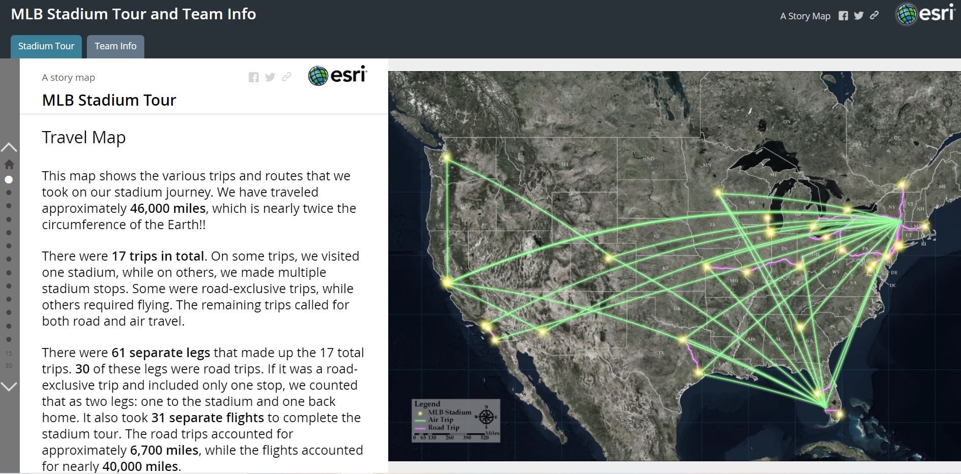
We can create an interactive and completely immersive story that combines text and multimedia content using spatial components.
Transit Maps
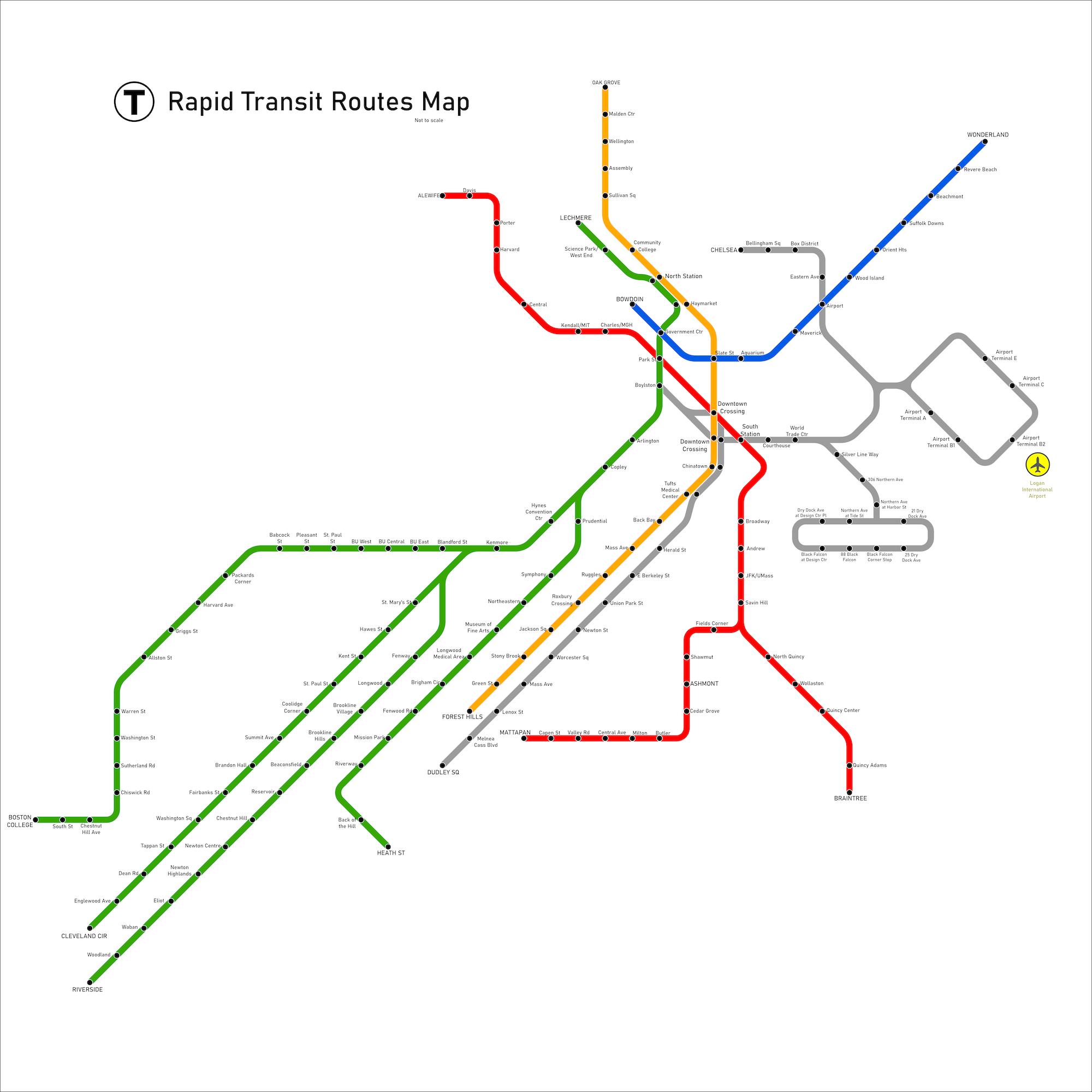
If you need a map to illustrate a transportation network, we can create an easy-to-follow schematic design.

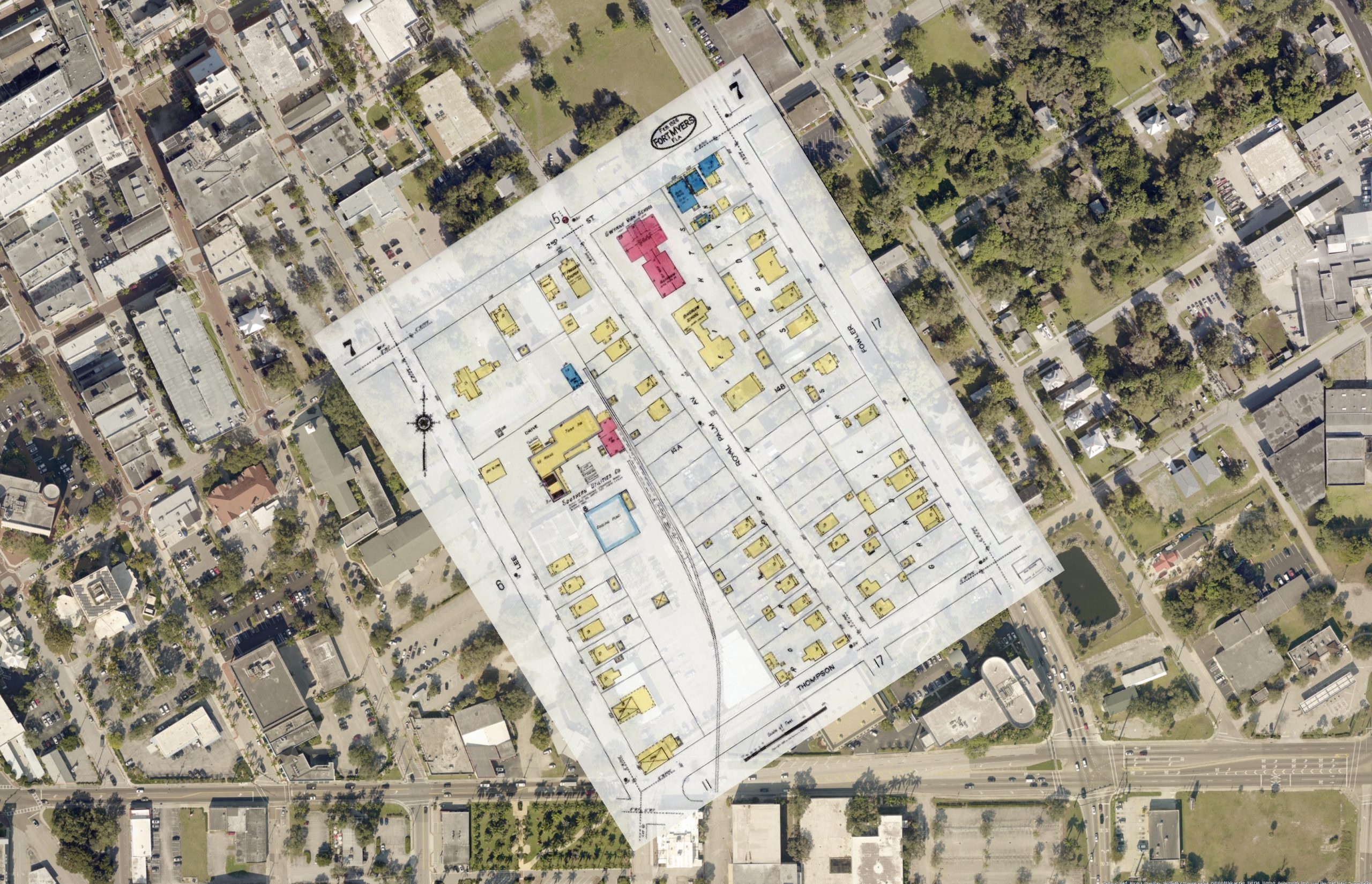
As-Built Mapping
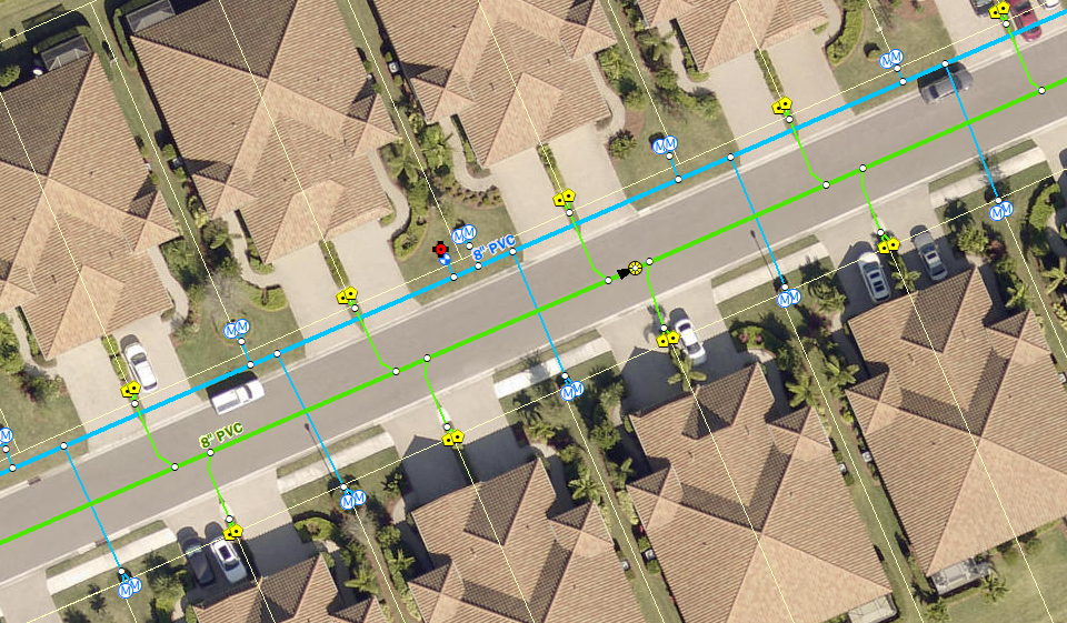
Utility Editing
We have extensive knowledge editing utility features in GIS, especially water and wastewater features.

Spatial Analysis
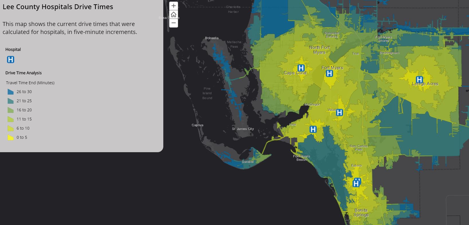
Drive-Time Analysis
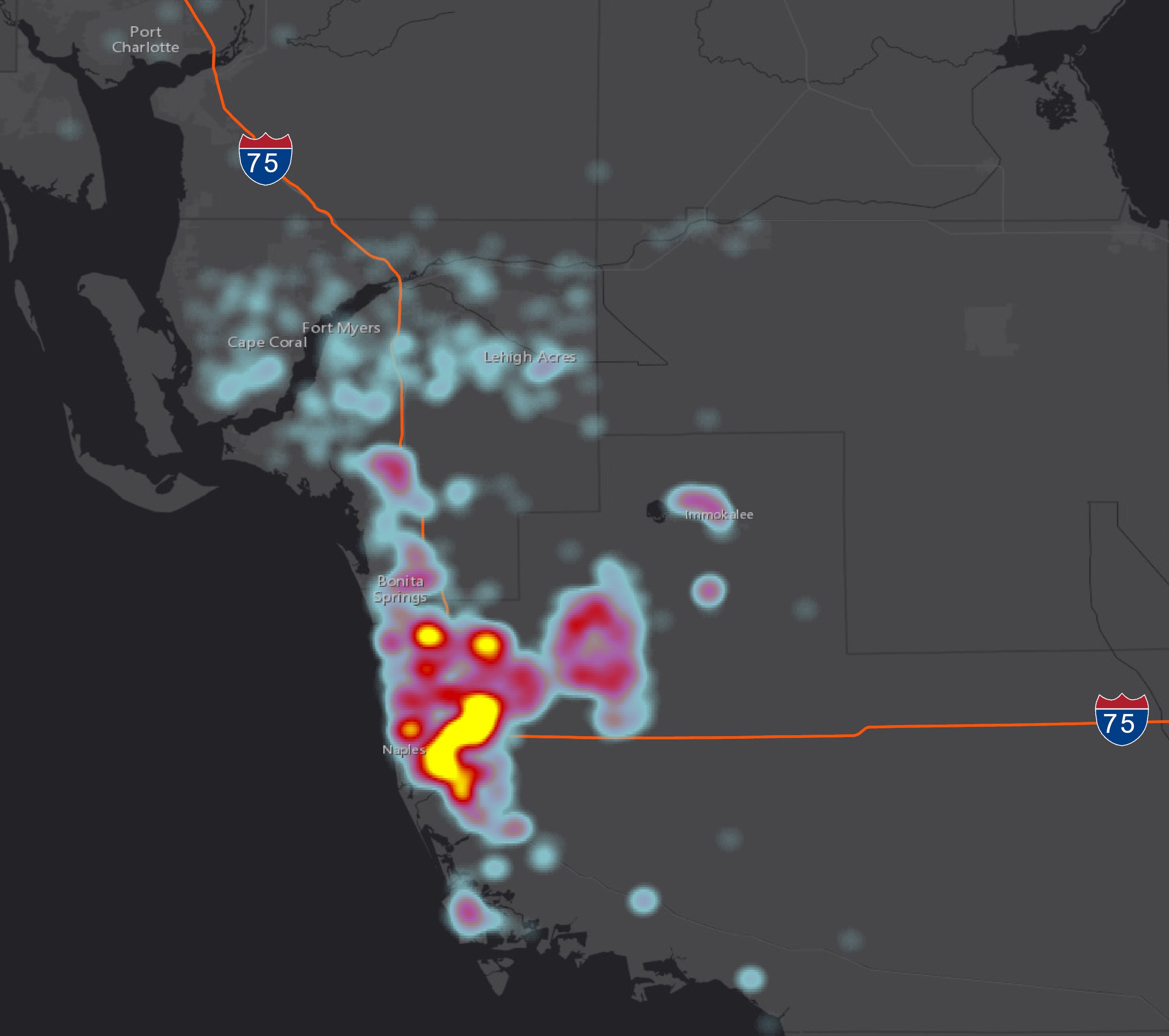
With the power of GIS, our mapping gurus can calculate drive times to and from spatial locations for your stakeholders’ reference.
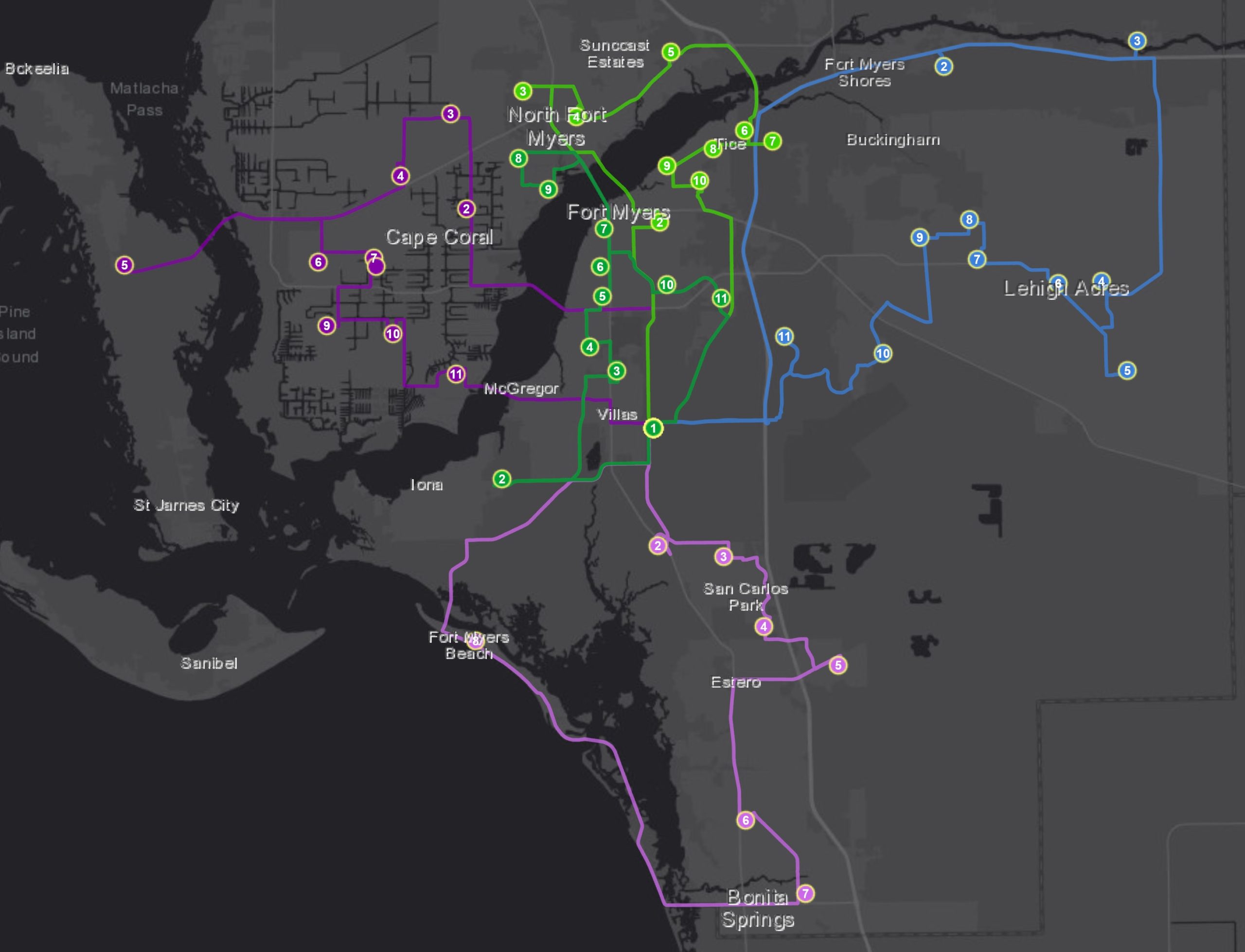
Routing
We can customize routes to optimize drive times and preserve one of the most valuable commodities: efficiency.

Application Development
Spatial Apps
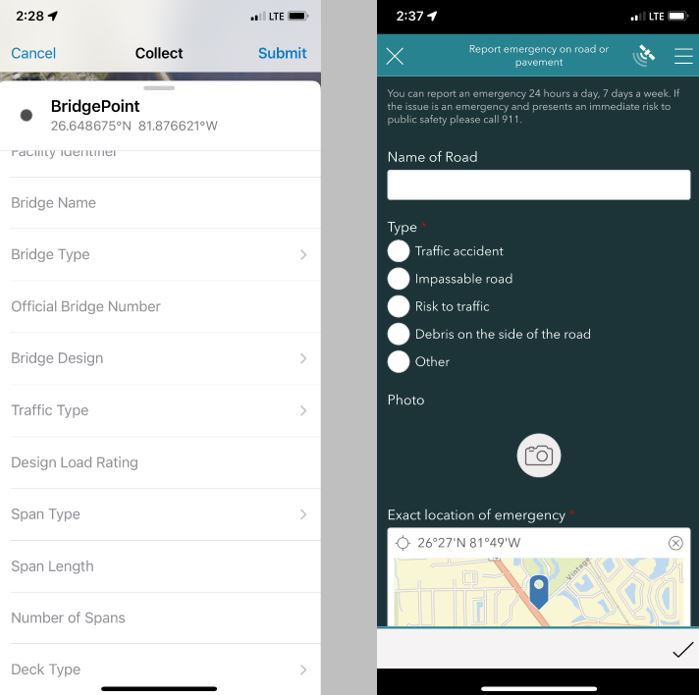
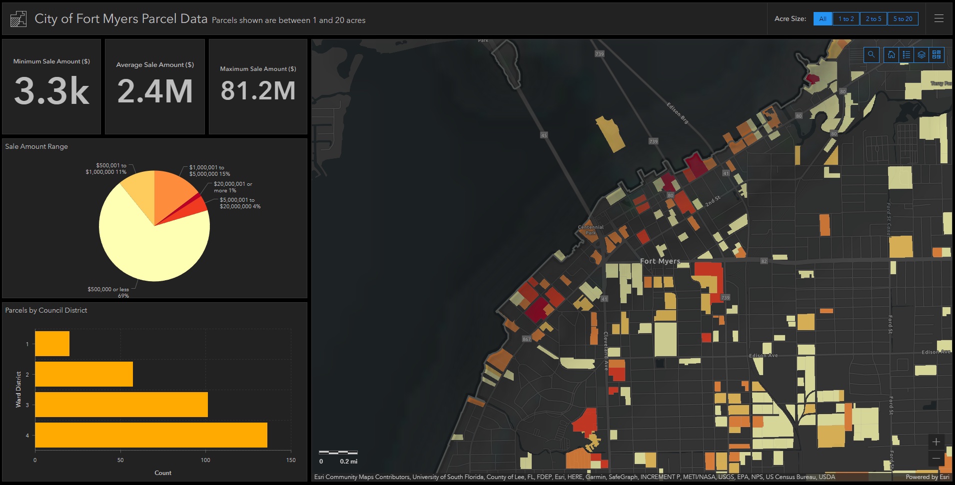
Sherman Spatial Solutions designs, develops and deploys a wide variety of spatial applications for desktop and mobile devices via ArcGIS Collector, Survey123, Dashboards, Workforce and many more.
